

When systems change: How Astun helped Anglesey navigate a complex GIS data consolidation
Discover how we orchestrated a multi-phase, multi-partnership data consolidation project
Discover how we orchestrated a multi-phase, multi-partnership data consolidation project

Discover how other organisations are using geospatial technologies to help manage the great outdoors and make it accessible to all.

Introducing OS BaseMap Pro, the replacement for OS MasterMap Topography layer
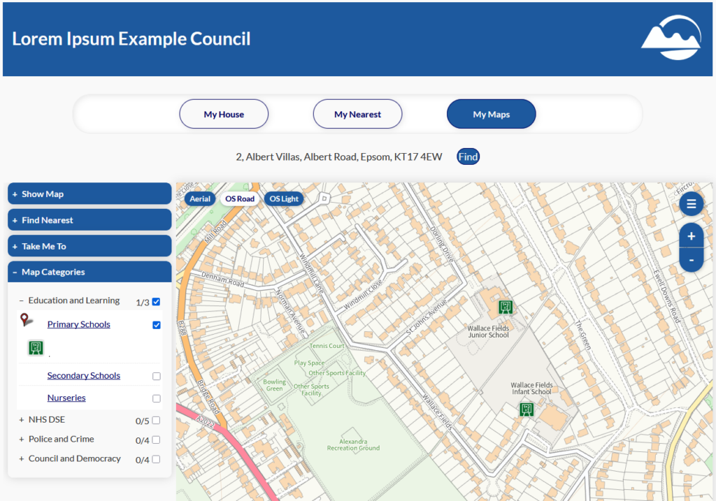
Enjoy a sneak preview of changes coming to iShare Maps (v6 only)

Discover the benefits of integrating National Library of Scotland (NLS) historic maps into iShare v6, our open source GIS

Join us in Leicester for GeoPlace’s 20th conference
Recent Comments