Here to support you
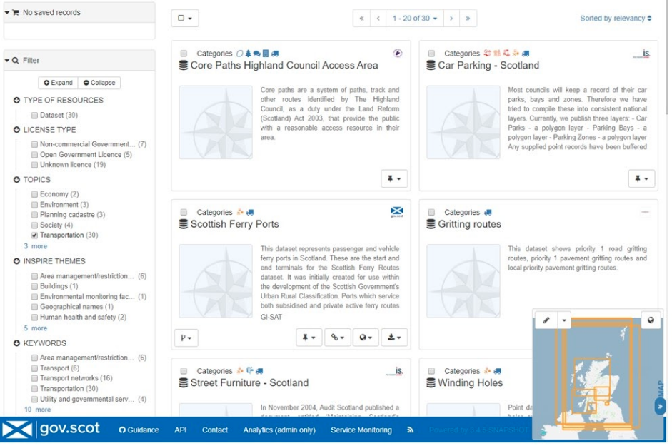
To contact Astun Technology support, visit the Helpdesk and Customer portal or try our support hub for iShare help.
Customer Helpdesk Portal
To contact Astun Technology support, visit the Customer helpdesk.
Support portaliShare help
Also available are official web based help pages for iShare which are regularly updated.
iShare helpOn premise support conditions
Current terms and conditions of iShare Support for customer hosted on premise implementations
On premiseCloud Support Conditions
Current terms and conditions of iShare Support for Astun cloud hosted implementations
Cloud hostedSee our up and coming training schedule and secure your place
Book nowEnterprise support
Having an Enterprise Support Package provides peace of mind knowing that our experts are on hand if you need to discuss anything. We have a variety of Service Level Agreements depending on your needs.
We have been supporting open source geospatial technology since 2005 and we have experts on hand via our Service Desk and Consultancy teams.
Contact us


Service Level Agreements
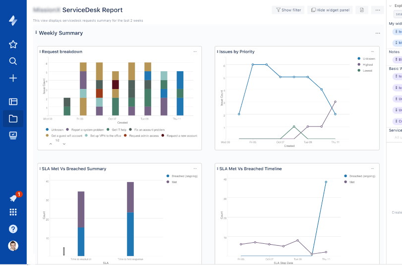
Our helpdesk support is via a dedicated Service Desk staffed with 1st, 2nd and 3rd line support personnel, customers are provided with a access to a web based service desk where customer support tickets are managed.
On a Budget
SMALL
- email support
- 1st response by next day
- 16 support incidents
Most Popular
MEDIUM
- email & phone support
- 1st response within 4-8 hours
- 40 support incidents
- 2 Consultancy / Mentoring days
- VPN access to client servers
Best Value
LARGE
- email & phone support
- 1st response within 2-4 hours
- 100 support incidents
- 5 Consultancy / Mentoring days
- VPN access to client servers
Supported OSGeo Projects

GeoServer
Designed for interoperability, GeoServer publishes data from any major spatial data source using open standards.

GeoNetwork
GeoNetwork is a catalog application to manage spatially referenced resources with powerful metadata editing and search.

PostGIS
PostGIS adds GIS spatial types and support to PostgreSQL to store & query both spatial and non-spatial attributes.

QGIS
QGIS is the leading Open Source Desktop GIS. It allows you to create, edit, visualise, analyse and publish geospatial information.

OpenLayers
OpenLayers makes it easy to put a dynamic map in any web page whether tiles, vector data and markers loaded from any source.

GDAL/OGR
GDAL is a C++ translator library for more than 200 raster & vector geospatial data formats.

MapServer
Designed for interoperability, GeoServer publishes data from any major spatial data source using open standards.

Loader
Designed for interoperability, GeoServer publishes data from any major spatial data source using open standards.

Portable GIS
Designed for interoperability, GeoServer publishes data from any major spatial data source using open standards.
Why choose support from Astun?
Astun Technology is the UK market leader for Enterprise solutions built on OSGeo foundations. Astun provides enterprise-ready, high-quality services such as training, support and consultancy in GeoServer, GeoNetwork, PostGIS, OpenLayers, QGIS, MapServer & GDAL/OGR.

1
Open Source Citizen
We have contributed considerably to the development of numerous Open Source projects and sponsored many Open Source events and initiatives. Internally we contributed hundreds of days of our staff’s time in helping with events, code sprints, hacks and other activities.
2
Experts in Place
Our team of OSGeo experts and enthusiasts have over 250 years cumulative experience in the geospatial industry.
Access to our domain experts provides invaluable support for you and your business.
3