Overview
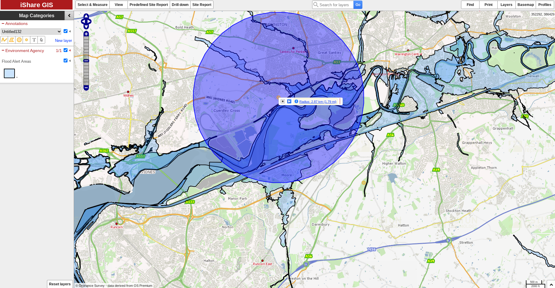
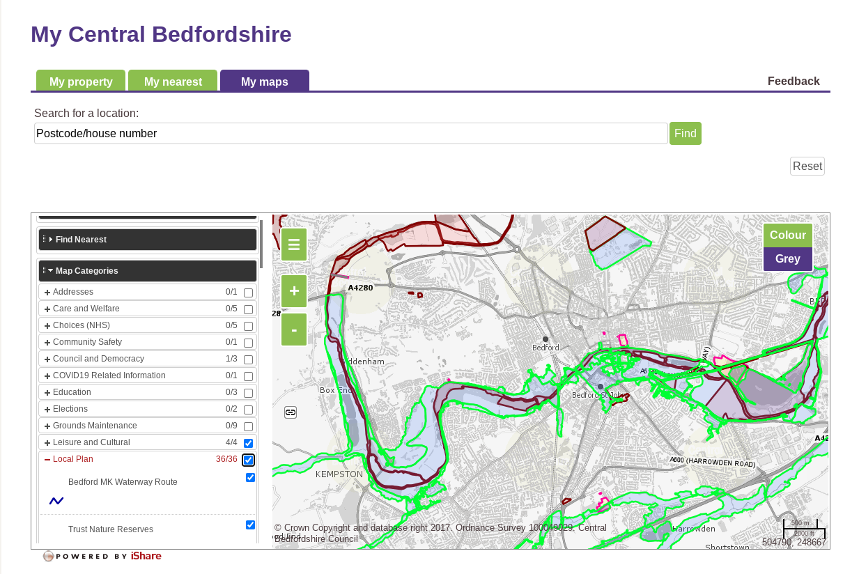
iShare is an end-to-end Enterprise GIS comprising a Spatial Data Warehouse, browser-based GIS, an award-winning public facing mapping application and an API.
iShare enables organisations to transform their service delivery by sharing data with citizens and customers whilst reducing interaction costs.
iShare is available on Amazon Web Services (AWS) on a fully managed infrastructure. It’s deployed with a modular approach to enable user needs with specific functionality.
iShare integrates with over 55 back office systems.

Features
iShare is a fully featured cloud-based solution including Desktop, Intranet, public mapping, Spatial Data Warehouse and metadata management.
Store, Maintain & Manage
A Spatial Data Warehouse enables storing, maintenance, management & security across an enterprise.
Publish, Visualise & Interact
Use Spotlight, Maps, GIS to provide varying ways for users to access GIS data depending on their skillset.
Crawl, Catalogue & Discover
Create, Simplify, View & Publish Data Discovery Catalogues including metadata maintenance.
Serve, Stream & Download
The iShare API allows a developer to utilise the power of iShare within their websites and software architecture.
Extract, Transform & Load
Build workflows to provide live & scheduled access to data sources. Over 55 common back office systems integrated.
Other Features & Capabilities
OGC Web Services
Studio
Logger
Alerts
Benefits
More than just hosted software, iShare in the Cloud is a managed solution including infrastructure, upgrades, security and data provision.
1
Managed Infrastructure
Being a managed service, it frees customers from the costs and complexity of managing a Geographic Information infrastructure (servers, networks, bandwidth) allowing GI managers and analysts to focus on delivering Geographic Intelligence to staff and stakeholders.
2
Secure from the Outset
We’re Cyber Essentials Plus certified which underlines our experience and knowledge of cyber threats and our commitment to cyber security.
Each customer has their own Virtual Private Cloud (VPC) that provides a logical isolated secure section of the Amazon Web Services (AWS).
3
Data Ready
Common datasets such as the Ordnance Survey stack are available (inc. MasterMap) as standard, for the whole of Great Britain.
Available as ready to use OGC Web Services or as vectors within the spatial data warehouse will free up time for staff from data translation etc.
Are you a local council?
Find out how iShare is helping Walsall Council transform its service delivery.
Read Walsall’s case studyIntroducing two free add-ons to iShare
Spotlight enables novice users to produce their own quality single-topic web maps and Logger enables residents to provide more accurate fault report information
Discover SpotlightLearn about LoggerClient testimonials
Don’t take our word for it – here’s what our clients say:
“We have worked with Astun Technology for a number of years and have deployed the technology in both Eden and South Lakeland District Councils. We worked with Astun in developing a set of interfaces to link the GIS data to our enterprise digital platform to help develop more efficient processes in creating GIS data and also to develop the automation of processes using the GIS data.
Astun have always been very professional to work with and have always delivered what was expected and to the agreed timescales and agreed costs.”
Ben Wright
Head of Shared ICT and Lead Digital Specialist
Eden & South Lakeland Shared ICT Service
“Part of our objective is to encourage channel shift through the deployment of transactional web mapping systems enabling better decision making, by using geographic data integrated with back office data and sharing both internally and to the public for day to day service delivery challenges.”
Read the case study to find out how iShare has helped Walsall Council to free up capacity in its GIS team and develop a more effective means of data sharing that supports decision making and service delivery improvements.
Tracy Lister
Strategic Geospatial Development and Support Manager
Walsall Council


