QGIS Essentials training
A two day introduction to QGIS. Prior GIS experience is a pre-requisite for our QGIS Essentials training.
Knowledge of databases and SQL is desirable.
2 days
8 CPD pointsGetting Started
Introducing the software, and a reminder of core GIS concepts. Includes UI introduction, release schedule, customisation and settings, coordinate reference systems, using plugins.
Vector Data
Loading, using and exporting vector data, including open and proprietary formats, Web Feature Service (WFS) data, spreadsheets and database sources. Working with layers and attributes. Joining spatial and non-spatial data.
Styling
Adding style to data, including categorised and graduated as well as simple styles. Building styles by combining images, fonts and other markers. Sharing and importing styles. Using annotations.
Select and Filter
Using manual and expression-based selection to build simple workflows. Filtering data from large datasets. Selecting using spatial characteristics such as proximity or containment. Using the Field Calculator on attribute values.
Raster Data
Working with raster layers, including map images, LIDAR data and Web Map Service (WMS) sources. Visualisation tools for raster data.
Data Creation and Editing
Creating data, including snapping and tracing from other sources. Editing geometry and attributes. Working with single and multipart geometries. Introduction to advanced editing tools.
GeoProcessing
Using geoprocessing functions to generate new data from existing geometries, including buffers, intersections, point in polygon counts. Creating workflows to build new layers. Generating and analysing proximity, length and area metrics.
PostGIS Data
Working with PostgreSQL/PostGIS databases, schemas and tables, including database connections, loading tables, uploading layers to the database, and running SQL from QGIS.
Print Layouts
Creating print and digital output using print layouts, with multiple maps, legends, tables, scalebars and marginalia. Reviewing and discussing outputs.
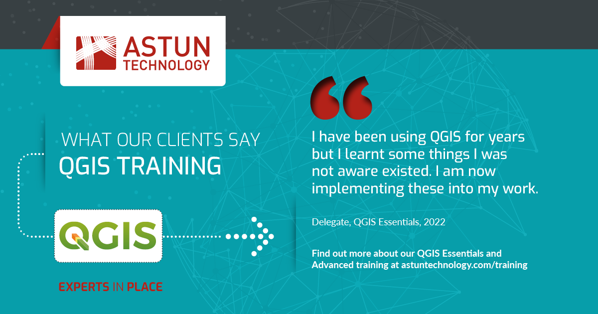
QGIS Essential training testimonial
Here’s what one of our happy delegates had to say

Interested in QGIS training?
QGIS Advanced training
This one day QGIS Advanced course introduces a number of more advanced features of QGIS. Delegates should have a good working knowledge of QGIS.
1 day
4 CPD pointsAtlas
Generating multiple map pages using Atlas functions, creating a page for each feature in a layer. Controlling style, labelling, and scale dynamically, and Using variables to populate map elements.
GeoReferencing
Using the Georeferencer plugin to spatialise raster images such as historic maps, allowing them to be used in QGIS. Creating and editing ground control points, reviewing and improving accuracy.
Raster Analysis
Using raster processing tools to visualise and analyse Digital Terrain Model (DTM) LIDAR data to derive aspect and slope metrics. Using the Raster Calculator to combine data from multiple rasters.
Graphical Modeller
Building automated workflows using the modeller UI, making use of any function in the QGIS Processing Toolbox. Applying style to model outputs.
Animation
Generating animations for data with a time series element. Interpolating data to fill gaps and exporting for video production.
Point Cluster Styling
Clustering points dynamically to visualise points appropriately at different scales.Using the QuickOSM plugin to download and process OpenStreetMap source data. Create data-dependant symbols.
