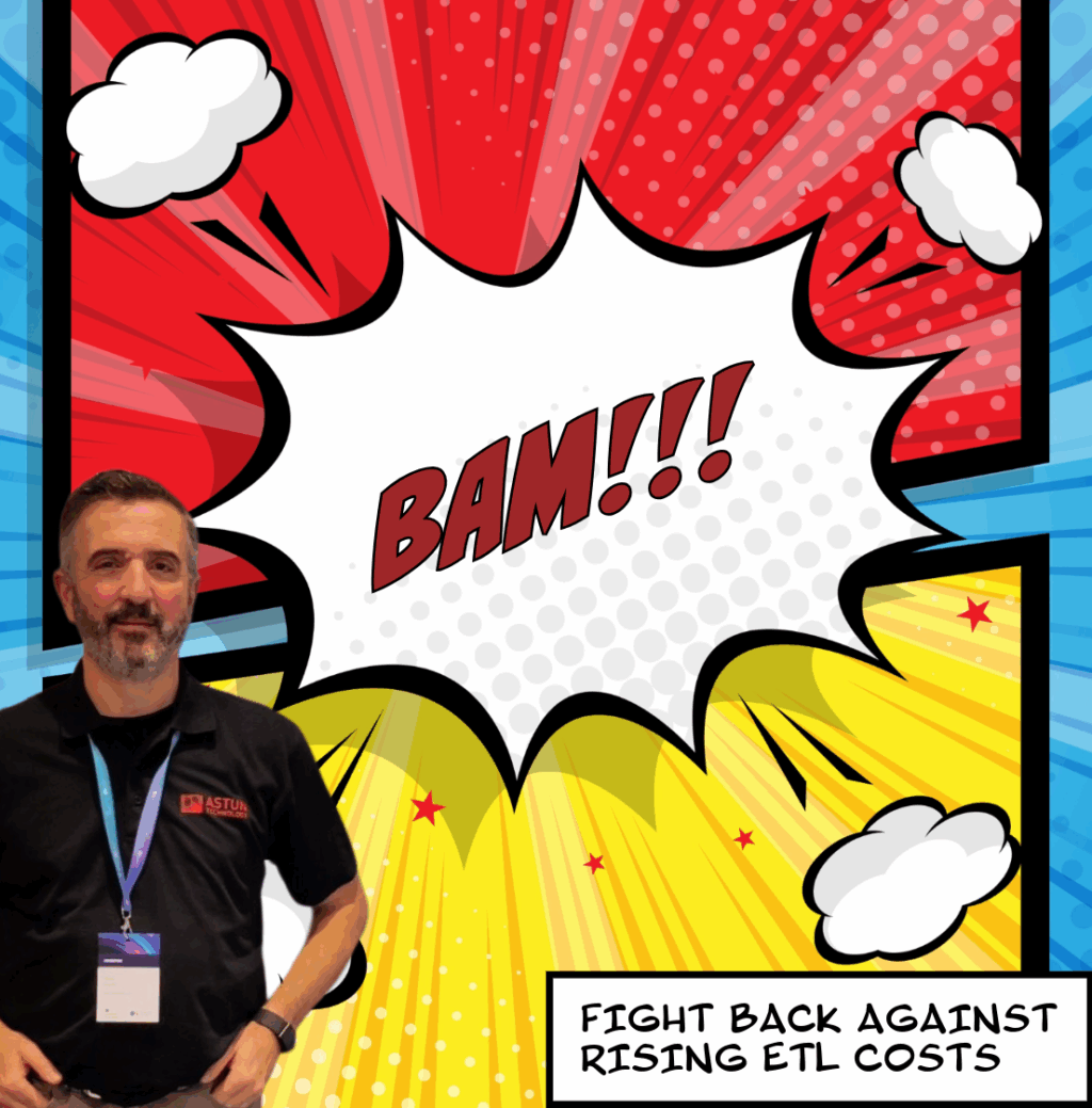
Are you feeling the pinch from the rising costs of proprietary ETL tools? Perhaps you’re looking for a powerful, flexible solution for your data manipulation needs? If so, we have an often overlooked open source solution for you.
Introducing GDAL and OGR
The Geospatial Data Abstraction Library (GDAL) was initially developed in 1998 to handle raster data formats with the OGR Single Features Library developed separately to handle vector file formats. The two were later united – under GDAL – to provide powerful data translation capabilities.
In his forthcoming talk at FOSS4G:UK in October, Mike Saunt will explore how these incredible open source tools have been serving geospatial professionals for over 20 years and yet are more relevant than ever.
GDAL/ODR effortlessly translates proprietary data formats into open standards like GeoJSON, PostGIS and GeoPackage. It may not have the fancy graphical user interface (GUI) of its expensive competitor, but a new release is in the works. This will simplify and improve documentation for the command-line (CLI) interface/API.
Mike’s talk will outline the advantages of the new CLI and the benefits it offers to organisations looking to spend less but deliver more.
Mike comments, “This 2025 national FOSS4G event has been a long time coming. I’m excited to meet up with the UK’s active open source community in Leeds and share insights into the tools we use at Astun. GDAL/OGR is an essential part of our toolkit and I’m delighted to have the opportunity to bring it to a wider audience.”
Want to find out more?
To see Mike’s talk on 1st Oct at 12.30pm, save your place at FOSS4G:UK 2025. It costs just £110 for 40 talks and workshops.
Dates: 1st and 2nd October
Location: Horizon, Leeds
You’ll be able to chat to Mike and Matt from Astun at the optional social event on the first night. They hope to see you there!
