FOSS4G:UK 2025 proved to be an invigorating experience, uniting over 180 passionate individuals from the OSGeo:UK community. Mike and Matt were lucky enough to attend & present for Astun, one of the event’s sponsors.
A personal view of FOSS4G:UK 2025
Mike noted the significant increase in attendance and the presence of a newer generation of tech enthusiasts. He also appreciated being reminded of Astun’s strong reputation and positive impact within the OSGeo:UK community, saying, “When you’ve got your head down, you don’t always realise how far the industry and your company have come. Twenty years ago, I encountered some resistance when discussing open source. Now I can stand in a room full of specialists and spot many connections – colleagues, ex-colleagues, customers, and peers – who associate Astun with advancements in open source GIS.”
Matt was equally positive about the event’s friendly and lively atmosphere, as well as the opportunity to reconnect with old friends and forge new connections.
Five Day One highlights from FOSS4G:UK 2025
The first keynote was delivered flawlessly by Kathryn Berger, a Lead Data Scientist within the UK government’s Department for Science, Innovation, and Technology (DSIT). “Rapid Shifts, Open Tools: Redefining How We Map” used case studies to illustrate advancements in open source GIS.
After this, delegates split into different streams. Matt opted to join ‘Create 1’ to learn about routing in JavaScript with James Milner. This introduced the audience to Terra Route, a new lightweight zero-dependency TypeScript library for dynamic routing over short distances in the browser.
Meanwhile, Mike had opted for ‘Inspire’ where ex-Astuner and OSGeo stalwart Ant Scott highlighted the potential for extending and automating workflows in “Automate your Workflows with QGIS Model Designer”. Mike followed this up with a heartening session about “Open Maps for Europe – Democratising data and Driving Sustainability”, which revealed that Brexit hasn’t hindered collaboration between UK and EU companies.
One of the problems of an event like FOSS4G stems from delegates’ inability to be in two places at once. Having missed out on the live version, Matt is looking forward to watching “Danger UXB! British World War Two Coordinates in JS, Python, and QGIS” by Barry Rowlingson, which was highly recommended by other delegates.
And five more from Day Two!
Matt and Mike were united in their appreciation of Alasdair Rae’s keynote, which underscored the critical importance of trust in open software and data.
In ‘Create 1’, Matt particularly enjoyed Fran Pontin’s “Scaling Gender-Responsive Park Safety Insights with Open GIS“. Matt lauded this talk for its applied GIS analysis using open data and software, leading to tangible, real-world outcomes like safer public spaces. He was particularly struck by how existing open-licence data facilitated such impactful research.
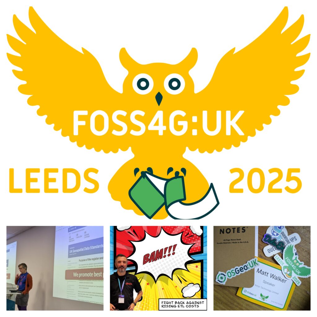
Having taken over as Chair after the keynote, Matt had the pleasure of welcoming Jo Cook, ex-Astuner and original founder of OSGeo:UK (shown bottom left above), to the mic. “Help make standards fun and useful!” inspired audience interaction on contributing to and implementing standards, making it another of Matt’s favourite presentations.
In ‘Create 2’, Mike’s pick of the day was Tomas from Address Cloud’s presentation “A Field Guide to Building Serverless Geospatial Apps on AWS“. This demonstrated how standard non-GIS tech can be effectively utilised with clear business objectives, emphasising the cost-saving and scalability benefits of data preparation.
Our final highlight involved the procurement of free goodies, with Matt scoring a long-coveted Field Notes notebook, thanks to Dana at Overture Maps.
In summary
It’s not surprising that both Matt and Mike found it inspiring to witness significant growth in the UK event. Whether it’s enough to secure an international FOSS4G event in the UK, as rumoured, remains to be seen; however, there’s no doubt that speakers at the UK event demonstrated the power and potential of open source geospatial technologies.
In the meantime, our thanks go to the OSGeo team for their constant dedication to the cause and to Mike and Matt for their presentations:
What to Do When your Favourite ETL Tool Gets too Expensive… (watch it here!)
This isn’t a Sales Pitch unless you’re buying!
Automate PostGIS and QGIS using Event Triggers
Please note: Presentations are downloadable as PDFs. We’ll add video links here and to the newsletter when they are available.