Update! The Geospatial Commission and Ordnance Survey are running more PSGA events in November 23. Find out more.
In March/April 2023, we embarked on a scenic tour of the UK as one of OS’s PSGA event sponsors. Here’s what we learned…
Things are on the up
Attendees were optimistic about GIS and open source GIS in particular.
We estimate that over half the people we spoke to were new to open source. Lowering costs is the key driver, although many of our clients find that it becomes a secondary benefit.
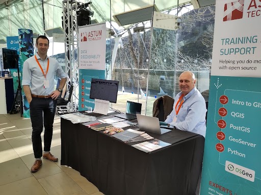
You’ll never map alone
Many people want to transition to a non-proprietary GIS but are reluctant to do so without OSGeo experts on hand to resolve any difficulties.
We had several conversations with attendees about our support packages. Clients can take out support on its own or bundle it with training/mentoring to further enhance the capabilities of in-house GIS teams.
Having the opportunity to clear up misconceptions about open source – such as the lack of support – whilst meeting familiar faces helped the travelling feel worthwhile!
There’s a call for streamlined processes
Our new Call for Sites case study, based on Dudley MBC, was a popular takeaway for stand visitors. Our Call for Sites solution integrates with our iShare GIS to give Planning Officers a real-time view of suggested locations. It also reduces the number of paper applications that councils receive, saving both time and money.
Getting out is fun!
Everyone was very excited to be out and about. It’s difficult for GIS teams to escape the office (or desk at home!) unless an event is held in their region. Hats off to OS for bringing events to Wales, England, and Scotland, giving more people the chance to attend.
OS is open to providing further events
OS has relaunched its partner scheme so we have high hopes that these joint events will be the first of many. Don’t forget to subscribe to our events newsletter to learn about forthcoming GIS webinars and in-person events.
Want to find out more about how open source can help you?
Contact us to find out how open source GIS software can help you meet your organisation’s goals more effectively. We’re always happy to give demos or talk through the options.