The AGI Cymru event promised an informative day devoted to “Geospatial Solutions for the Built Environment”, with a raft of presenters scheduled to speak about planning, infrastructure, sustainable development, and the importance of location data for decision making and shaping communities.
Unfortunately, but not surprisingly given the current climate, the event fell foul of spending restrictions. Many Astun clients, even those based in Wales, told us prior to the event that it was impossible for them to secure the budget needed to cover entrance and travel costs. This made AGI Cymru a relatively small event, but added to its relaxed, friendly atmosphere.
With Mike Saunt, Mike Smith and Andrew Smart in attendance, we had plenty of Astuners to go around. Each had a different role to play: Mike Saunt was delivering a presentation, Andy was manning the stand and Mike Smith was there to say an early farewell before he retires later this year. Although footfall was low, they made the most of the opportunity to listen to speakers, chat to attendees and enjoy an excellent lunch.
AGI GeoCymru presentation highlights
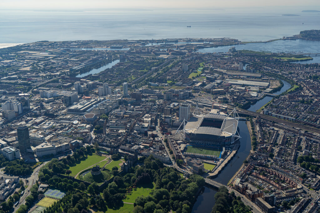
The first keynote speaker, Professor Scott Orford from Cardiff University, introduced the audience to Public Map Platform, a two-year research initiative led by Cambridge University to make places in the UK better for the people who live there. The project focuses on Ynys Mon / Anglesey, an area close to Astun’s heart.
Both Mike Saunt and Andy particularly enjoyed “Methane Man”, better known as Nicholas Kinsella from Ulster University. His talk outlined an open source, processor light method for measuring methane super emitters. Andy comments, “This was a subject I knew nothing about prior to the presentation, but it was interesting to learn about the advantages of using CH4 Sentinel over previous methods, and the impact of methane on the environment.”
The second keynote from Gayle Lister featured Pembrokeshire Coast National Park Authority’s plan to conserve and enhance dark skies in Wales.
Of course, Mike’s talk was bound to be a highlight for many attendees. His presentation referenced Data Map Wales – a fantastic resource for our Welsh authorities – and Natural Resources Wales (NRW) who use a Data Discovery catalogue built by Astun. The NRW portal complies with GEMINI and MEDIN standards, making data sharing easier. Users can find data based on topic, e.g. inland waters, or INSPIRE themes.
The future of geospatial events
Autumn is traditionally a busy time for GIS events and we have three more on the calendar. If you’re in the PSGA, you can attend free events hosted by Ordnance Survey in London, Edinburgh and Cardiff. For those who can’t attend, we’ll host our take on the FOSS4G:UK, AGI Cymru and OS events in a webinar later this year. Look out for your invite in our newsletter.